
Google opens AI rainfall tracking system that could improve global flood and drought monitoring
PARDIG's open archives and live stream offer reusable precipitation estimates for water research, delivered in six-hour batches. Read the full story on CryptoSlateUnderstand the crypto stories that matter and what to watch next. Get The Catalyst in your inbox
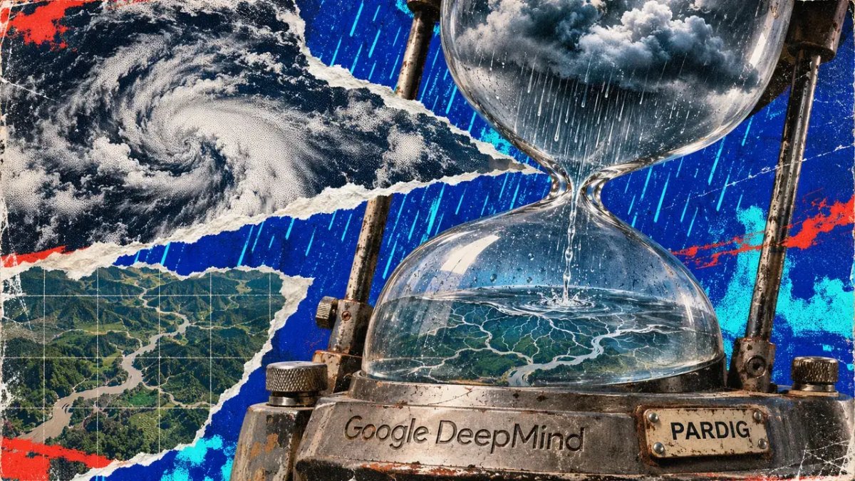
Google DeepMind has opened access to an artificial intelligence system that tracks rainfall worldwide, potentially helping researchers monitor floods and droughts in regions with limited weather infrastructure.
The company announced on Nov. 13 that researchers and developers can now access historical records and continuously updated data from PARDIG, its AI-powered global precipitation monitoring system.
The technology combines satellite observations and atmospheric data to estimate rainfall every 15 minutes across a global grid with roughly 10-kilometer resolution.
Its release could expand access to rainfall intelligence in developing countries and remote regions where limited weather radar coverage makes it difficult to track storms, flooding and prolonged dry spells.
Google said PARDIG learns from precipitation measurements collected by NASA's Global Precipitation Measurement satellite and uses additional satellite imagery and atmospheric information to estimate rainfall across the planet.
Unlike conventional monitoring systems that depend heavily on ground-based weather stations, PARDIG can generate estimates over oceans and regions with sparse observation networks.
The dataset also supports Google's WeatherNext 3 forecasting model, which uses PARDIG-generated rainfall information during training.
Researchers can access historical rainfall records dating back to 1999, alongside a separate dataset covering 2016 to the present.
Google has released both under a Creative Commons license that permits commercial reuse with attribution, potentially allowing companies to incorporate the information into agricultural monitoring, water management and disaster-risk applications.
Related ReadingDeepMind said PARDIG achieved more than 30% higher hourly precipitation detection skill than NASA's IMERG-Final dataset when measuring light-to-moderate rainfall.
The company evaluated the system against radar networks in the United States, Europe and Japan, alongside observations from more than 36,000 weather stations worldwide.
Its research paper also reported improved identification of intense rainfall events, which existing global precipitation datasets can struggle to capture accurately.
These capabilities could help researchers develop more detailed models of extreme weather events, including flash floods, landslides and drought conditions.
Google highlighted the July 2025 Texas Hill Country floods as one example, comparing PARDIG's estimates with ground-based radar measurements and NASA's existing rainfall dataset.
However, the technology has limitations that could constrain its use during rapidly developing emergencies.
Although PARDIG estimates rainfall at 15-minute intervals, Google publishes its near-real-time data in six-hour batches, creating an average delay of about five hours between observation and availability.